| diagram | 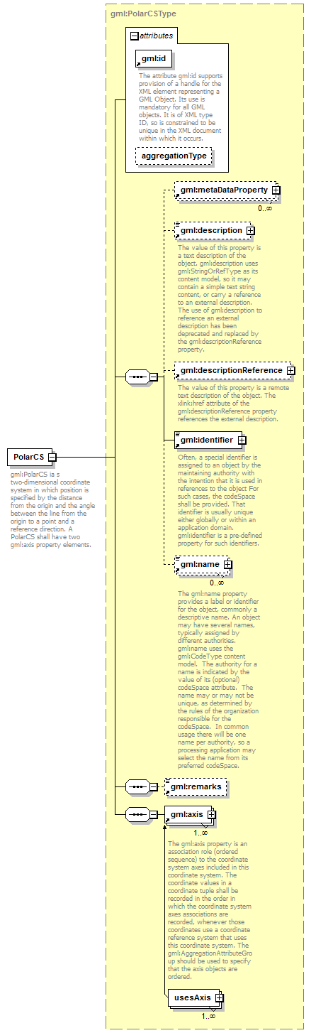 |
||||||||||||||||||||
| namespace | http://www.opengis.net/gml/3.2 | ||||||||||||||||||||
| type | gml:PolarCSType | ||||||||||||||||||||
| properties |
|
||||||||||||||||||||
| children | gml:metaDataProperty gml:description gml:descriptionReference gml:identifier gml:name gml:remarks gml:axis | ||||||||||||||||||||
| used by |
|
||||||||||||||||||||
| attributes |
|
||||||||||||||||||||
| annotation |
|
||||||||||||||||||||
| source | <element name="PolarCS" type="gml:PolarCSType" substitutionGroup="gml:AbstractCoordinateSystem"> <annotation> <documentation>gml:PolarCS ia s two-dimensional coordinate system in which position is specified by the distance from the origin and the angle between the line from the origin to a point and a reference direction. A PolarCS shall have two gml:axis property elements.</documentation> </annotation> </element> |
XML Schema documentation generated by XMLSpy Schema Editor http://www.altova.com/xmlspy