| diagram | 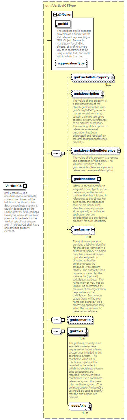 |
||||||||||||||||||||
| namespace | http://www.opengis.net/gml/3.2 | ||||||||||||||||||||
| type | gml:VerticalCSType | ||||||||||||||||||||
| properties |
|
||||||||||||||||||||
| children | gml:metaDataProperty gml:description gml:descriptionReference gml:identifier gml:name gml:remarks gml:axis | ||||||||||||||||||||
| used by |
|
||||||||||||||||||||
| attributes |
|
||||||||||||||||||||
| annotation |
|
||||||||||||||||||||
| source | <element name="VerticalCS" type="gml:VerticalCSType" substitutionGroup="gml:AbstractCoordinateSystem"> <annotation> <documentation>gml:VerticalCS is a one-dimensional coordinate system used to record the heights or depths of points. Such a coordinate system is usually dependent on the Earth's gravity field, perhaps loosely as when atmospheric pressure is the basis for the vertical coordinate system axis. A VerticalCS shall have one gml:axis property element.</documentation> </annotation> </element> |
XML Schema documentation generated by XMLSpy Schema Editor http://www.altova.com/xmlspy