| diagram | 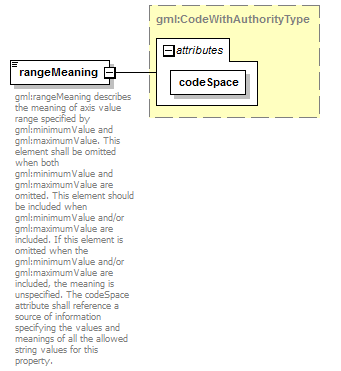 |
||||||||||||
| namespace | http://www.opengis.net/gml/3.2 | ||||||||||||
| type | gml:CodeWithAuthorityType | ||||||||||||
| properties |
|
||||||||||||
| used by |
|
||||||||||||
| attributes |
|
||||||||||||
| annotation |
|
||||||||||||
| source | <element name="rangeMeaning" type="gml:CodeWithAuthorityType"> <annotation> <documentation>gml:rangeMeaning describes the meaning of axis value range specified by gml:minimumValue and gml:maximumValue. This element shall be omitted when both gml:minimumValue and gml:maximumValue are omitted. This element should be included when gml:minimumValue and/or gml:maximumValue are included. If this element is omitted when the gml:minimumValue and/or gml:maximumValue are included, the meaning is unspecified. The codeSpace attribute shall reference a source of information specifying the values and meanings of all the allowed string values for this property.</documentation> </annotation> </element> |
XML Schema documentation generated by XMLSpy Schema Editor http://www.altova.com/xmlspy